El Proyecto Arqueológico Medio Ambiental (PAMA)
Puno, Peru
GPS Mapping and pXRF Analysis of Colonial Silver Refinery Sites in the Puno Region of Southern Peru
María Paz Avilez Barrantes, Sophie Baggett, Claire Boyle, Roger Carazas Losa, Javier Chalcha Sarazas, Ofelia Choque Arocutipa, Karen Durand Cáceres, Isabel Gourley, Collin Kelso, Sarah Kelloway, Sarah Kennedy, Ezra Kucur, Kalju Maegi, and Megan Porter
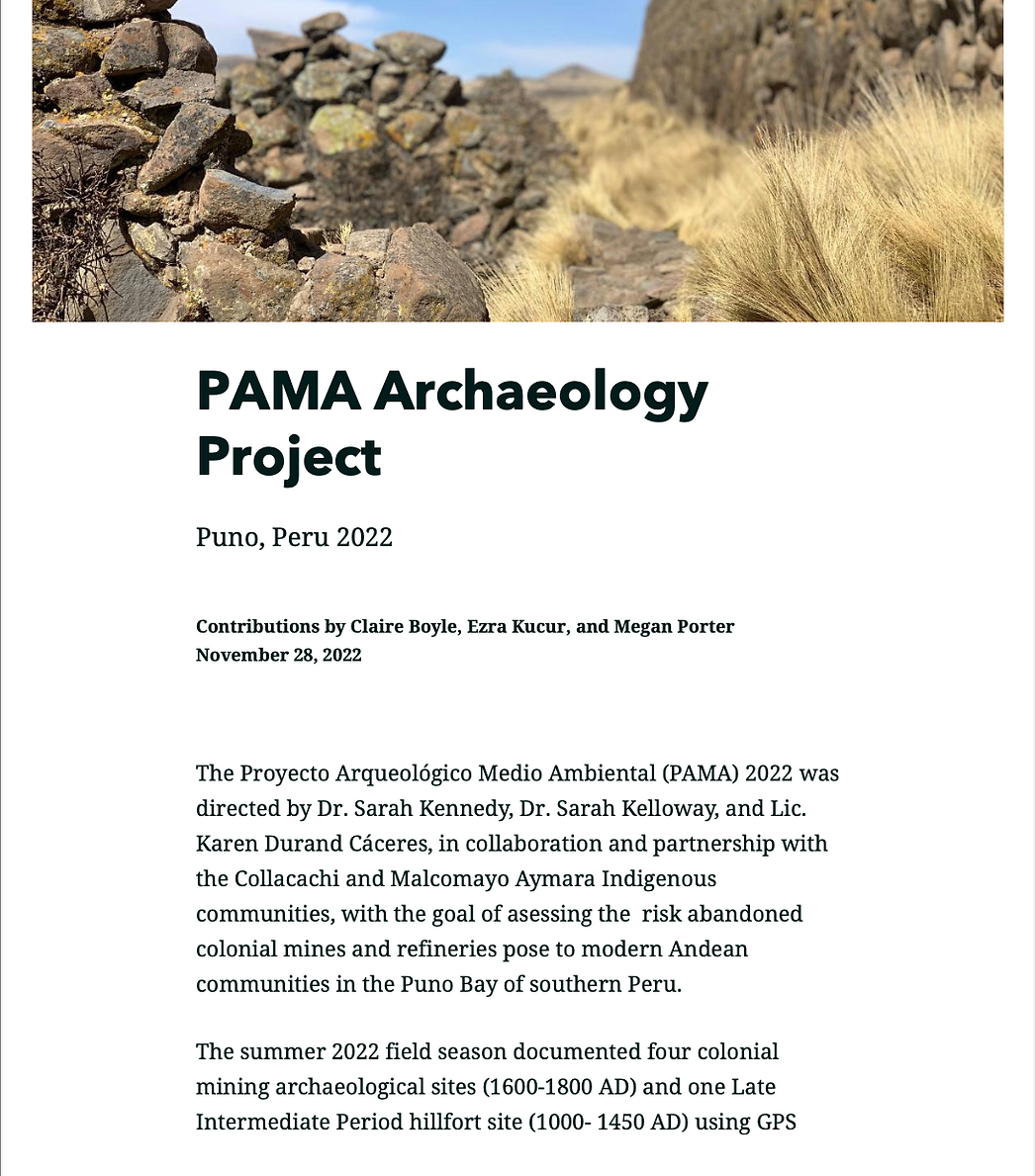
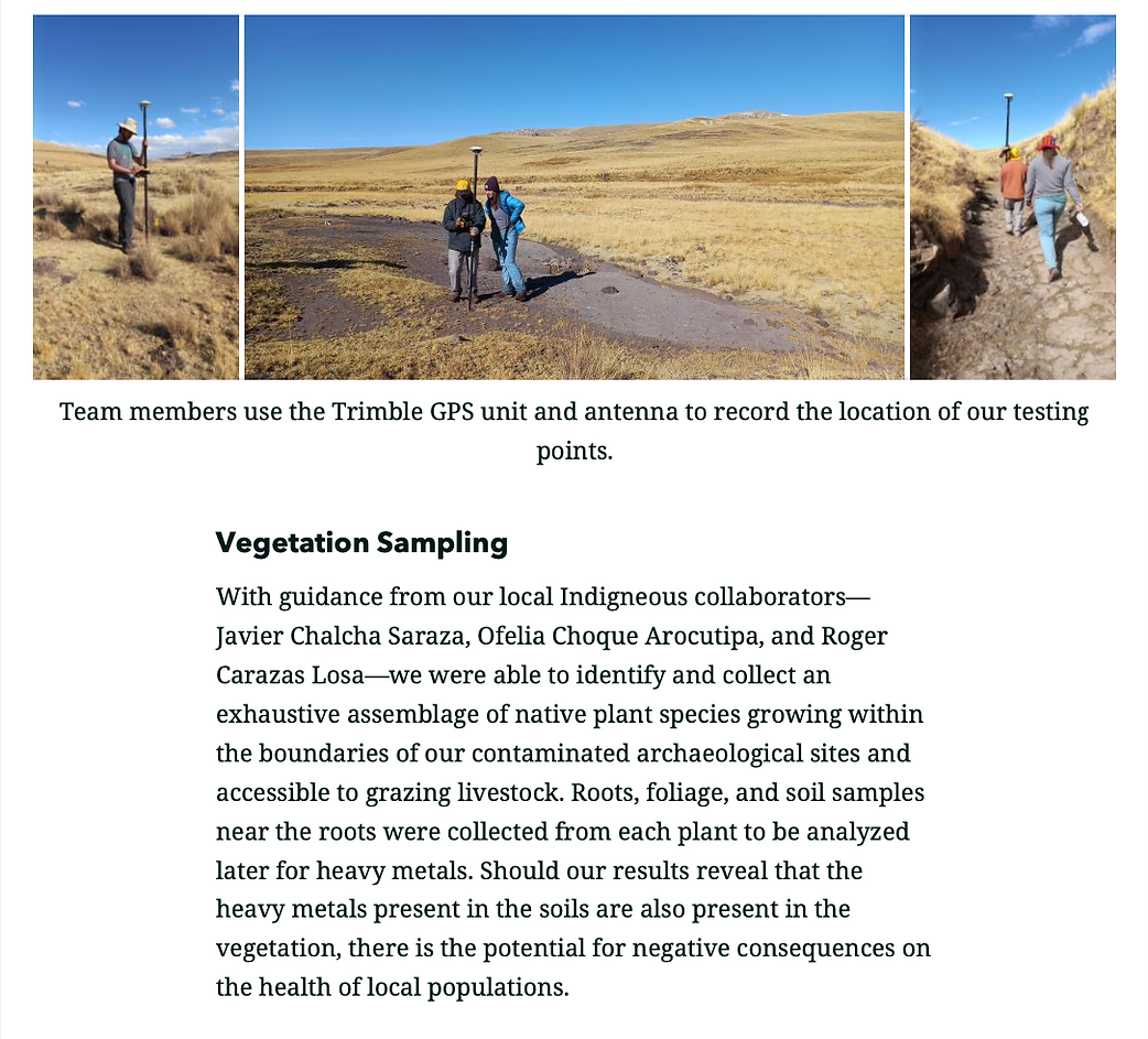
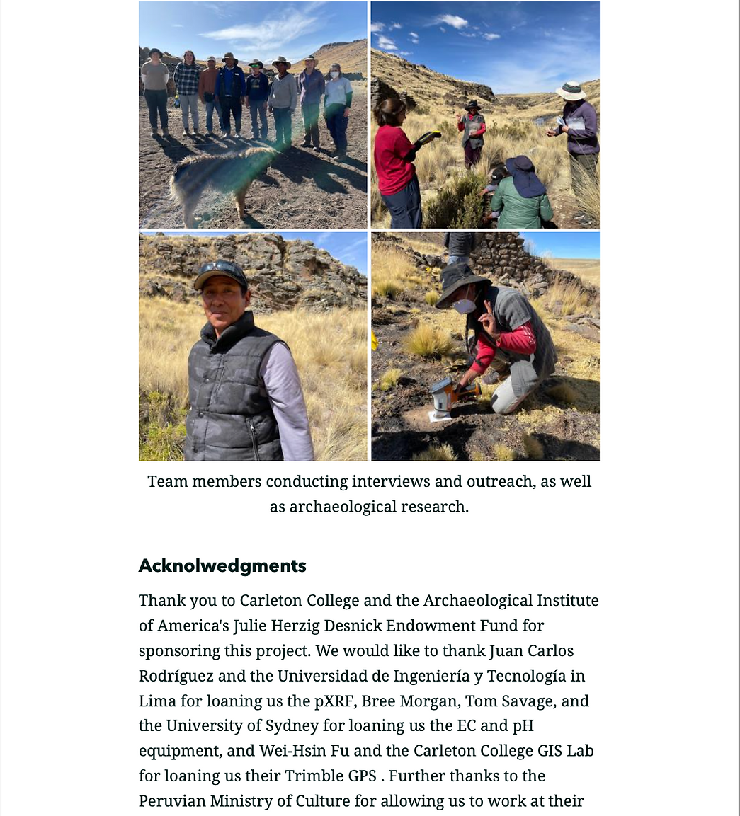
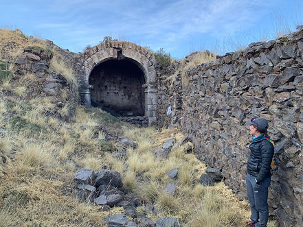
The PAMA 2022 project documented four colonial period sites and one Late Intermediate Period control site using GPS mapping, pXRF soil composition data, and water and vegetation sampling. The goal of the project was to determine the impact of silver processing technology at colonial refineries on both historical and modern agricultural environments by identifying and mapping heavy metal remnants within the soil, waterways, and vegetation present at these significant archaeological sites. A secondary goal of the project required that we build relationships and channels of communication with local communities, thus enabling current and future archaeologists to share their research and raise awareness about the potential for heavy metal poisoning and accessible mitigation options.

PAMA team members take soil samples (photo by Ezra Kucur).